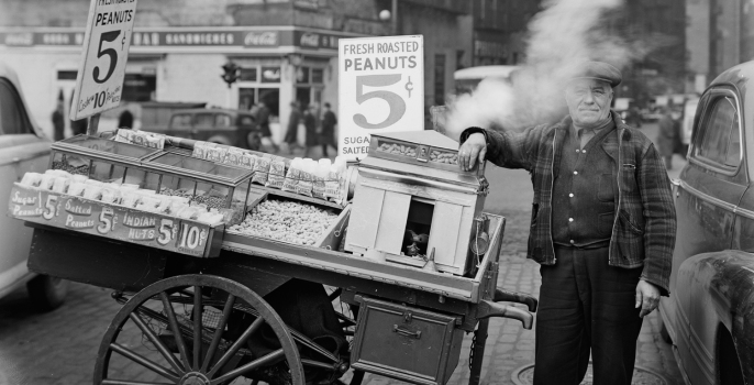
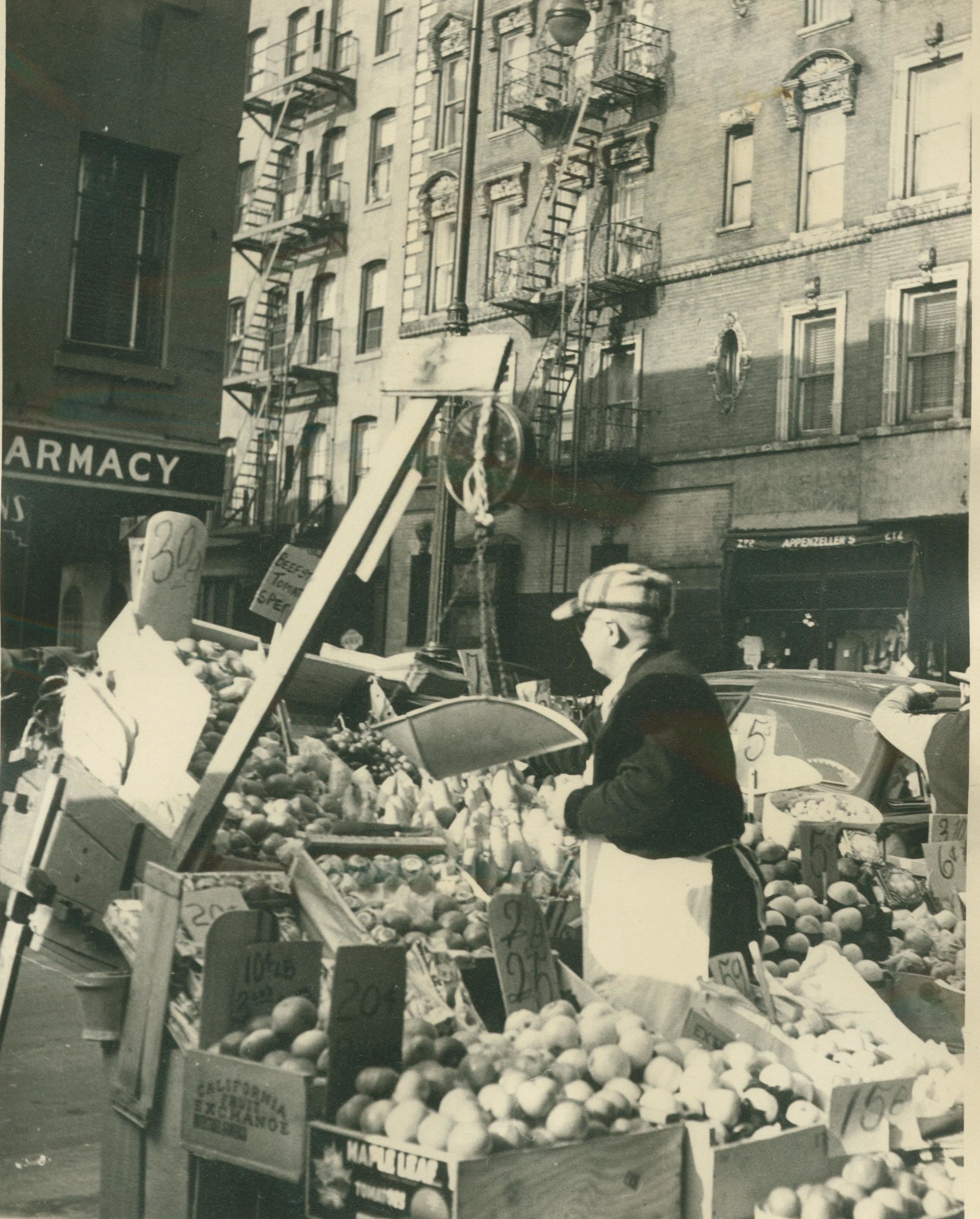
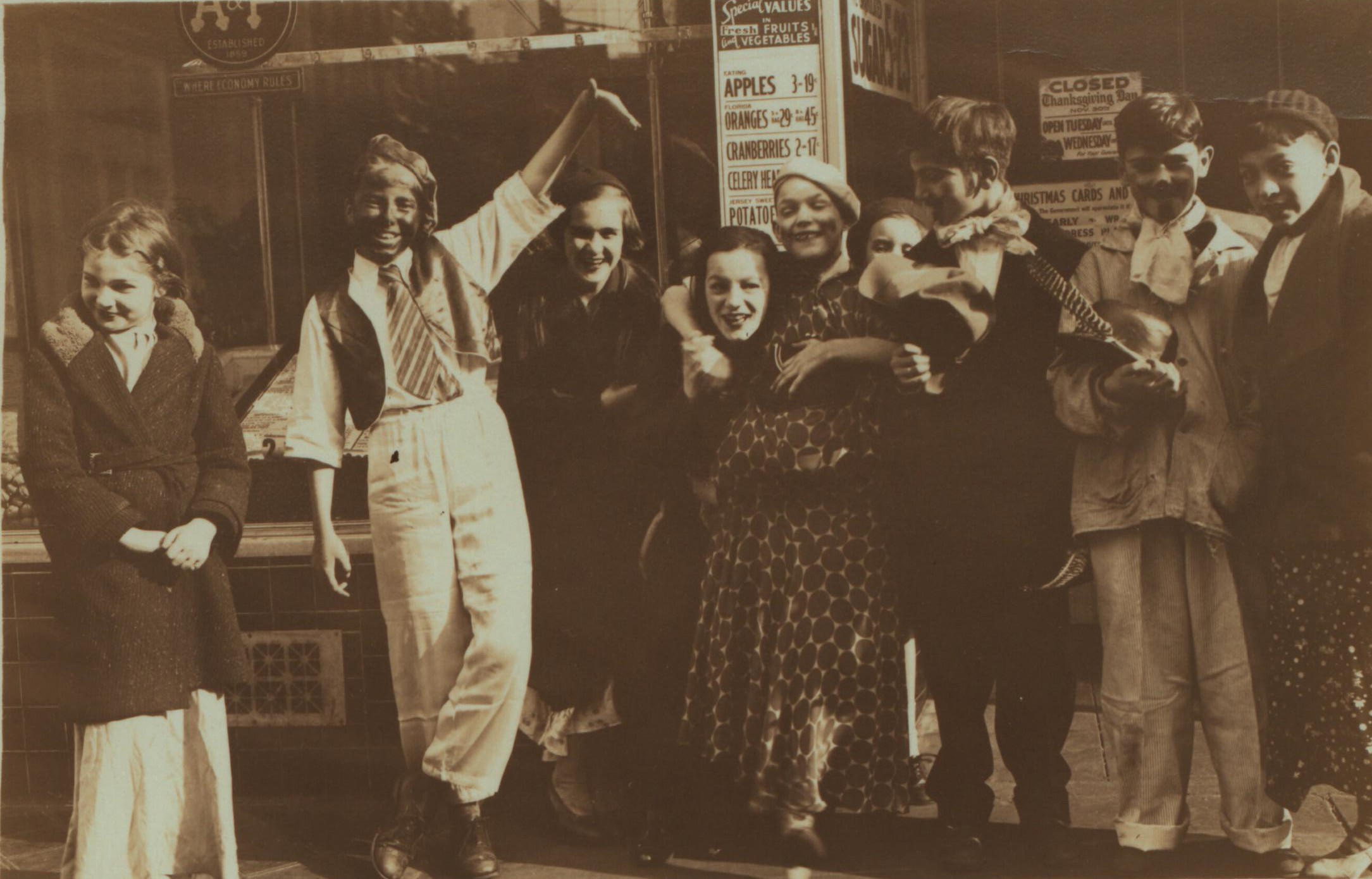
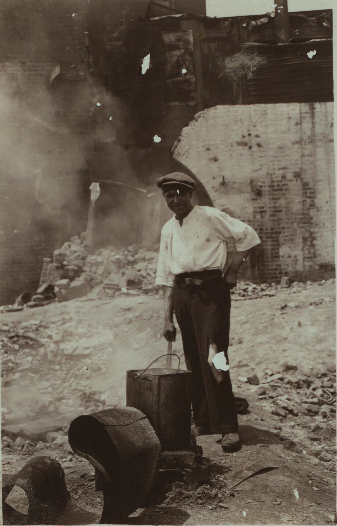
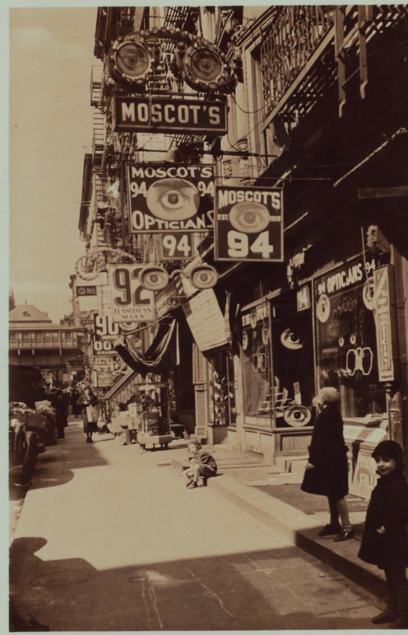
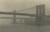
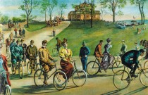
If you’ve ever wondered what your neighborhood looked like in its grimy past, a new website allows you to click on your street to see old New York photos from that area.
OldNYC is the brainchild of software developer and former Google employee, Dan Vanderkam, who linked up with New York Public Library in order to geo-locate 80,000 of their historic photos.
The innovation allows you to simply roll over a map of the city and click on any one of the red dots, to reveal historic neighborhood photos.
The pictures – which are available to buy – range from the 1800s to the 1960s, but the vast majority are from the 1920s to the 1950s, with many showing the slums and destitution of the Great Depression.
Vanderkam himself was touched by several photos he saw during the course of his 18-month-long stint on the project. He said: “I found a photo of what’s now the Google Office in Chelsea (the old Port Authority building) under construction in the 1930s. I was working there at the time, so it felt very close to home.
“Also, I hadn’t realized that my own street – Kent and South 8th in Brooklyn – used to have trolleys on it.”
He added: “The squatters colony in the East Village is a reminder that many of the photos were taken during the Depression. And there’s a picture of a farmhouse in Eastern Queens in the 20s, which is JFK airport now, but it used to be farm country.”
Vanderkam – who previously created OldSF – calls the New York site a work in progress, and he wants to encourage users to ‘like’ or tweet the photos they enjoy, as well as leave comments on the shots from their area to tell him what’s changed, and what’s stayed the same.
The images all come from the New York Public Library’s Milstein Collection, with the majority taken by Percy Loomis Sperr, who documented changes to the city from the late 1920s to the early 1940s.
Vanderkam wants to continue developing OldNYC by adding new photographic collections to the site, and map parts of the city that aren’t currently covered by his rash of red dots.
He said: “There are many images in the NYPL’s collection which are not on the map. One reason this can happen is that the street grid has changed. Avenue A and 18th street used to be an intersection, but now it’s part of Stuytown.”
*Cover photo: Peanut Man © Todd Webb/21st Editions
« Danger stunts to wow New York circus festival Novel hiding place: New York’s secret bookstore »

